| Station: Howe Caverns, Cobleskill, New York | |
| Director: Dr. Won-Young Kim | Network Affiliation: LCSN, LD |
| Network Contact:
Lamont-Doherty Earth Observatory of Columbia University 61 Route 9W Palisades, NY 10964 | |
| Coordinates:
Latitude: 42.6966N Longitude: 74.3981W | Elevation to Sensor: 200 m
Depth to Sensor: 0 |
| Geology: Manlius limestone (hard, thin-bedded, dark blue), Early Devonian Period. | |
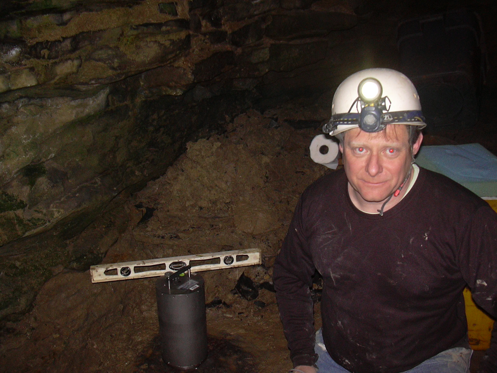
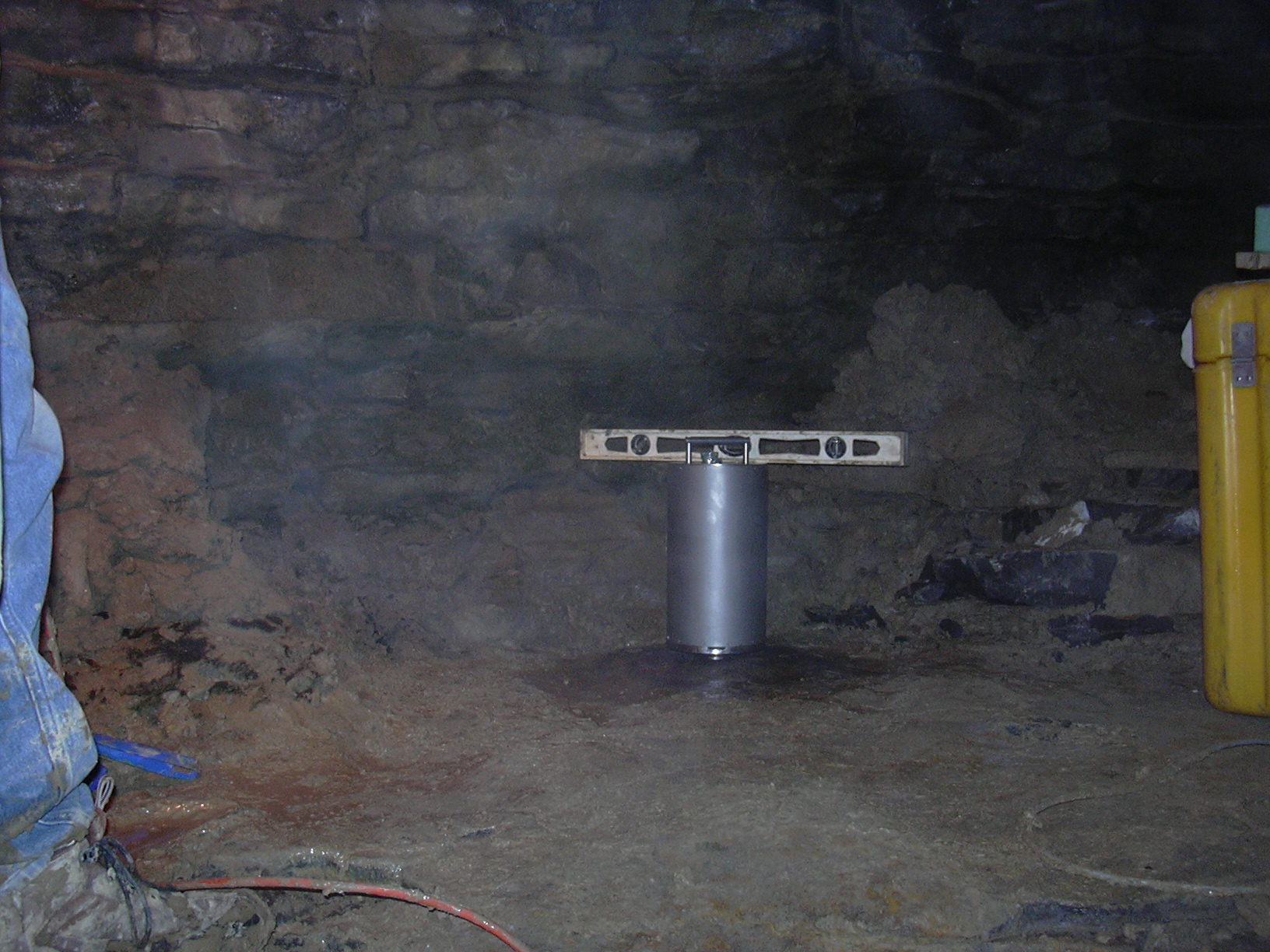
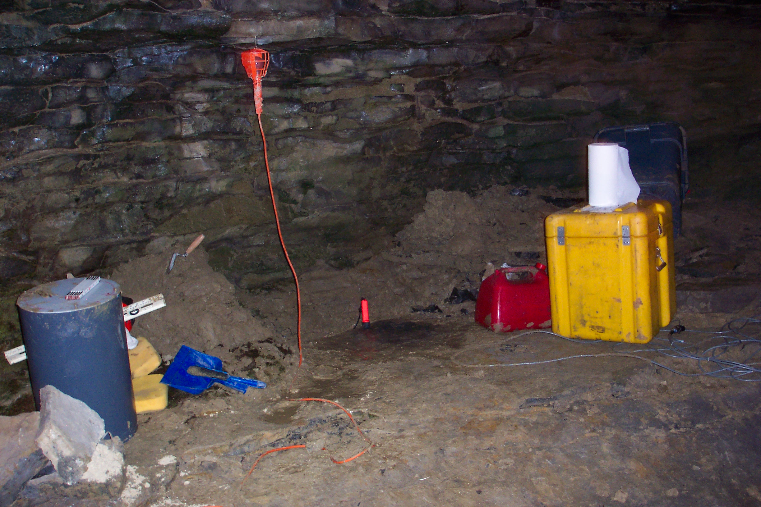
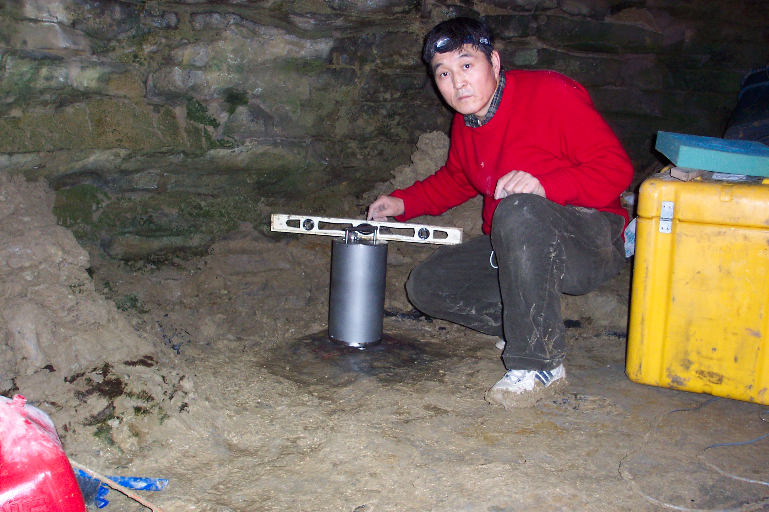
| Vault Conditions: Sensor is housed in a PVC tube and sits on the Manlius limestone bed rock. | |
| Site Description: Inside the Howe Cave, about 200 feet from the elevator | |
| Station Instrumentation: Remote site:
CMG-3T broadband seismometer, 440 feet cable | |
| Data collection site:
Reftek RT72A-07, 3-component, 24-bit A/D PC windows 2000, RTPD Earthworm |
|
| Operated Since: February 28, 2006 | |
| Comments:
High frequency noise from train passing by along Delaware-Hudson Rail Way about 5-10 times a day. Each signal due to the train is about 5 minutes long, and are centered at 5 Hz. | |