 Recent Earthquakes in the Northeastern U.S.
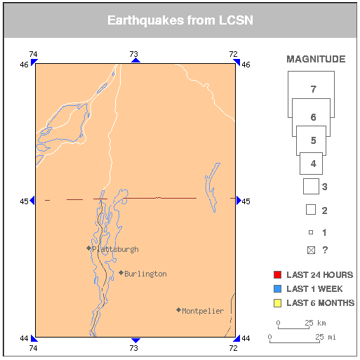
There are no earthquakes on this map.
Click on an earthquake on the above map for more information.
Click on an arrow at edge or corner of above map to go to an adjacent map.
Click here to go to index map ||
big earthquake list ||
all earthquakes list
Map need updating? Try reloading the page to your browser.
Maps are updated within about 5 minutes of an earthquake or once an hour.
What happens when I click on an earthquake?