 Recent Earthquakes in the Northeastern U.S.
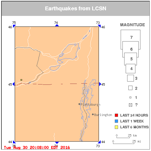
There is 1 earthquake on this map.
Click on an earthquake on the above map for more information.
Click on an arrow at edge or corner of above map to go to an adjacent map.
Click here to go to index map ||
big earthquake list ||
all earthquakes list
Map need updating? Try reloading the page to your browser.
Maps are updated within about 5 minutes of an earthquake or once an hour.
What happens when I click on an earthquake?
Update time = Tue Aug 30 20:08:00 EDT 2016
Here are the earthquakes appearing on this map, most recent at top ...
 MAG    DATE    LOCAL-TIME  LAT     LON    DEPTH    LOCATION
        y/m/d     h:m:s     deg     deg     km
1.0 2016/04/07 07:25:45 45.072N 74.844W 7.2 16 km (10 mi) N of Massena,NY
[
Index map ||
big earthquake list ||
all earthquake list ||
glossary of terms ||
LCSN Home
]
Data Sources
Northeastern US = Lamont-Doherty Cooperative Seismographic Network (LCSN)
New England Seismic Network = Weston Observatory
New England Seismic Network = MIT
Ohio = The Ohio Seismic Network
Southeastern Canada = Geological Survey of Canada
Southern Ontario, Canada =The Southern Ontario Seismic Network
Central U.S. = CERI, Univ. of Memphis
National = U.S. National Seismographic Network, Golden, CO