GPS route file: RTSX17.mps
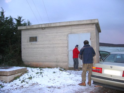
In concrete building near grove of trees under power
line.
Need to take along key for access.
No special servicing requiements.
* Change sample rate to 100sps
on next visit.
* Need sensor and GPS serial numbers, though GPS number
may be too difficult to bother.
2004:021 – Serviced station.
Noted standing water around sensor and the lack of insulation
between flower pot and sensor. Still need to change
sample rate from 50 sps to 100 sps.
2004:027 – Serviced station. Retrieved one data
flash card. Installed insulated box. Attempted to get
GPS serial number, but couldn’t get on the roof!
The GPS hadn’t locked in over 3 hours, so take
note on next service run.