
 Activity 1

Getting there - the start of it all!
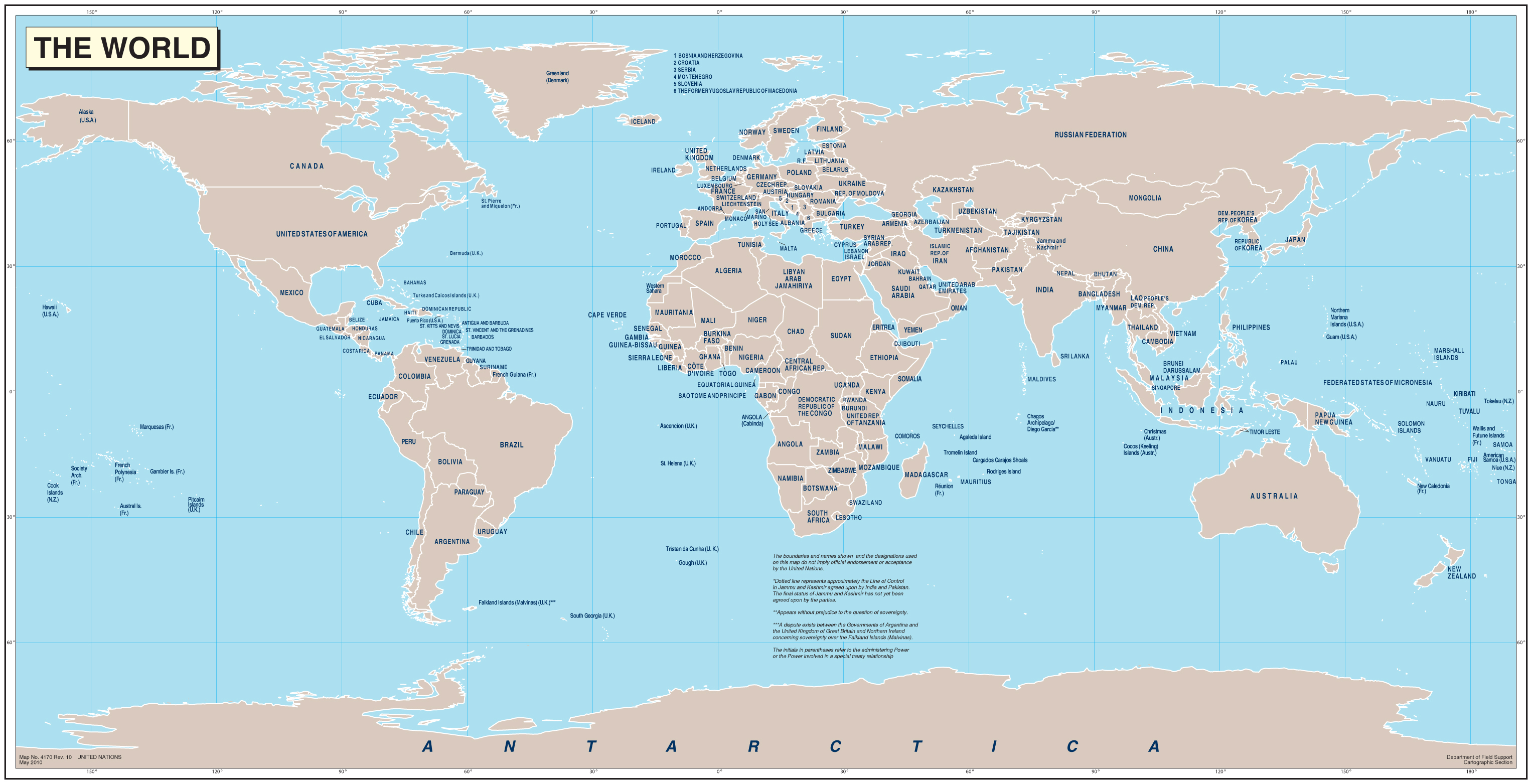 The Earth is HUGE and Antarctica is really far away from the U.S.! Have you ever tried to find Antarctica on a world map? Try it now. Google a world map or look around your classroom or home and see if you can find a world map that shows the whole Antarctic continent. Its not easy! You can click on the one I put here to see what I mean. Is Antarctica really a long, thin strip like that? NO WAY - that's just the 'projection' most map makers use. The best way to look at Antarctica in the world is with a globe or Google Earth.
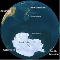
 These crazy world map views do make it hard to show you our trip plan since getting to Antarctica for us meant we had to fly 'off the map!'. Yep, that's right! We flew over the Pacific Ocean, over Hawaii and on to New Zealand, which on this map meant flying right off the edge of one side and back onto the other side! Here are the crazy details...
When Beth and I were trying to get to Antarctica, we each started on different coasts. I was in New York and Beth was in Colorado. To travel to Antarctica all NSF planes depart from Christchurch, New Zealand, in the South Pacific. So first I had to fly over to Beth's side of the country - New York to Los Angeles 2451 miles (3944 km), flight time 5 hrs. and 45 mins. Then we both flew from Los Angeles to Christchurch, New Zealand, another 6906 miles (11,113 km), flight time 13 hrs. and 45 mins. Here is my travel map for this part of the journey.
 |
|---|
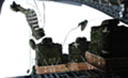
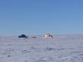
Lastly after a few weather delays we flew from Christchurch to McMurdo Station, Antarctica, another 2415 miles (3864 km), flight time 5 hrs. Here is the travel map for the last leg! Seriously, that's a lot of miles, and a lot of flight time! Add it up how many hours did I spend in the air?______
When you do a lot of traveling its fun to think about latitude. Go to 'Try this activity' and test your 'latitude aptitude' and see if you can develop a 'latitude attitude' about Antarctica!
Student Activity Worksheet