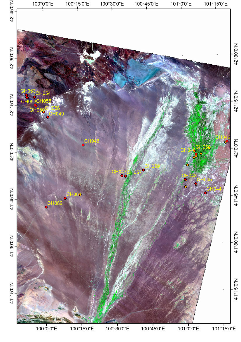
Alashan 2005 - Maps & Images /
Northwest Gobi
- Landsat p134r031 (ETM+ bands 7/4/2 = R/G/B,
*
= Validation Sites - Higher resolution image link ~1 MB - Plan Accordingy)
31_p134r31_20010820_742W25.jpg