Hudson River Benthic Mapping Project
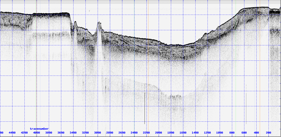
In 1998 the New York State Department of Environmental Conservation through the Hudson River Estuary Program began mapping the submerged aquatic habitats of the Hudson River Estuary. The initial phase of the project mapped 40 miles of the river with a suite of geophysical tools including multibeam swath mapping, sidescan sonar, and subbottom profiling using CHIRP and ground-penetrating radar. The geophysical data has been supplemented with sediment profile imagery (SPI) and sediment sampling including cores and grabs. The next phase of the program that began 2001 is using these tools to complete the baseline mapping of the estuary from the Battery to Troy and will include pilot studies of temporal change and invertebrate habitat analysis. Data products include acoustic images and interpretive maps. The latter include maps of anthropogenic deposits, recently deposited fine-grained sediments, sediment grain size, bedforms, and river bottom morphology.
Impressions from the survey
| taking cores |
|
 |
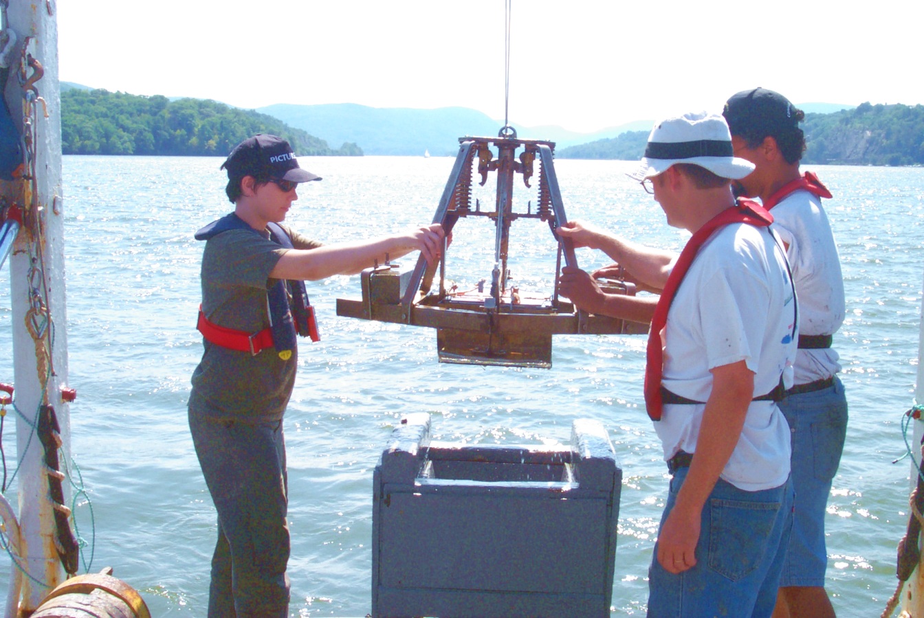
taking grab samples |
 |
example of Chirp seismic profile |
In collaboration with:
- Stony Brook University
- Queens College, CUNY
- Cary Institute of Ecosystem Studies
- DEC New York

