Climate and water
The Mississippi flood of 1993
-
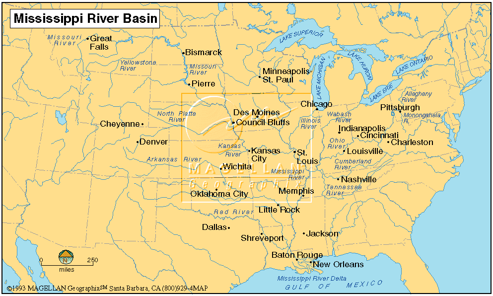
the Mississippi River (Fig)
is the sixth largest river in the world in terms of discharge, with a freshwater
discharge onto the continental shelf of 580 cubic km yr-1
-
it is 2,320 miles long and drains 41 of the land area of the continental
United States
History
-
satellite pictures of the river at Glasgow, Missouri (The
Great Flood of 1993)
-
flood of 1993 in the upper Mississippi River Basin was an unprecedented
hydrometeorological event
-
in June and July (and somewhat into the fall) of that year, the Mississippi
River basin in the midwestern United States experienced anomalously high
rainfall which produced record flooding.
-
the cause of the high precipitation was a persistent atmospheric weather
pattern consisting of a quasi-stationary jet stream positioned over the
central part of the nation. As a result, moist air flowing north from the
Gulf of Mexico converged with unseasonably cool, dry air moving south from
Canada
-
in June and July, close to 14 inches of precipitation (averaged over the
upper Mississippi River Basin) was observed, significantly higher than
average (approximately 8 inches)
-
the fall of 1992 and spring of 1993 were already quite wet as well, subsurface
was saturated
-
at 45 USGS stations, the discharge rate exceeded the 100 year flood value
-
flood lasted very long, many areas stayed flooded for weeks!
-
estimates of total damages in the Midwest from weather events during 1993
range between
$12 and $16 billion
-
Over half of these were agricultural damages, with the remaining being
primarily to residences, businesses, public facilities, or transportation
(Damages compiled
by USACE)
-
100,000 home were damaged, 50% of those due to groundwater or sewer backup
-
thirty-eight deaths were attributed directly to the flood
-
warm, nutrient rich water resulted in hypoxic conditions in the Gulf of
Mexico
-
many levees broke, as evident in the satellite pictures
Resources