Hydrology EESC
BC 3025
Fieldtrip - Black Rock Forest (Saugata,
Martin, Bill)
"Old" forest headquarters (8:30-10:15)
-
6 am leave NYC
-
pick up equipment at Barnard and LDEO
-
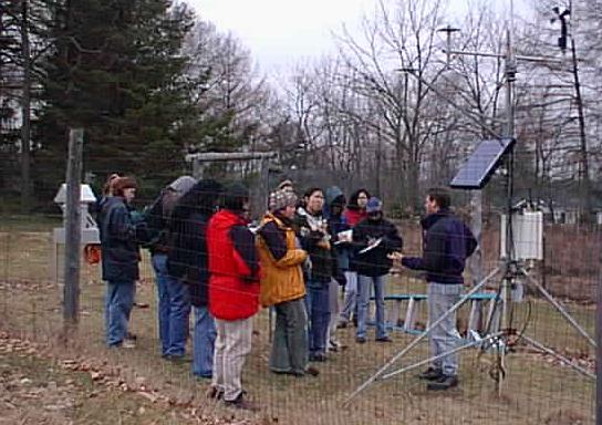
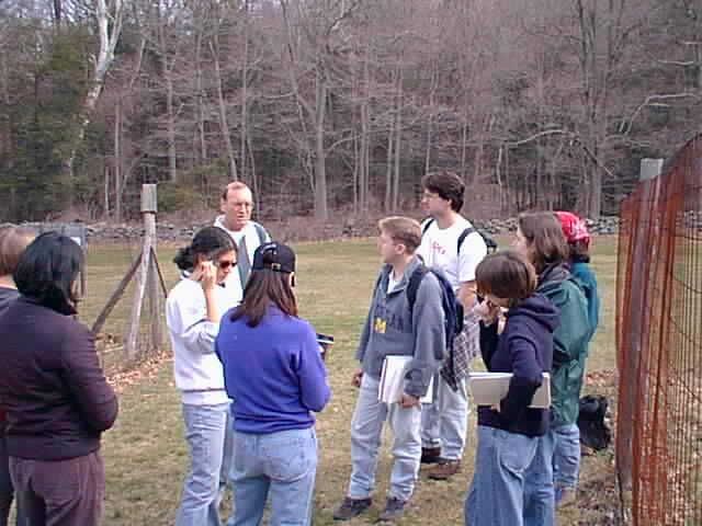
8:30 arrive at weather station, old office
-
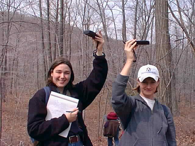
take a GPS measurement at the station (talk about
GPS if time allows)
-
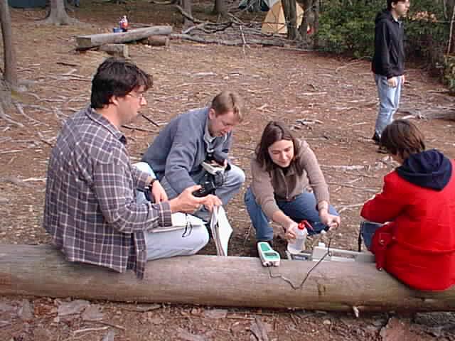
briefly explain the Horiba multi parameter sensor
-
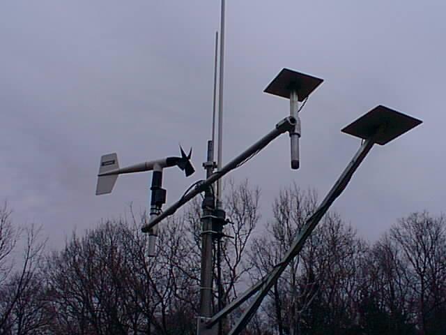
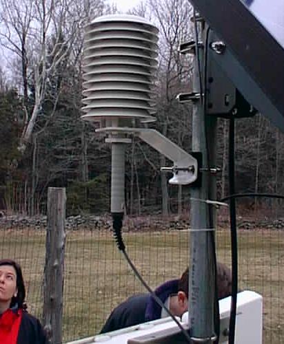
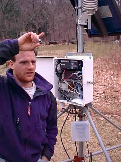
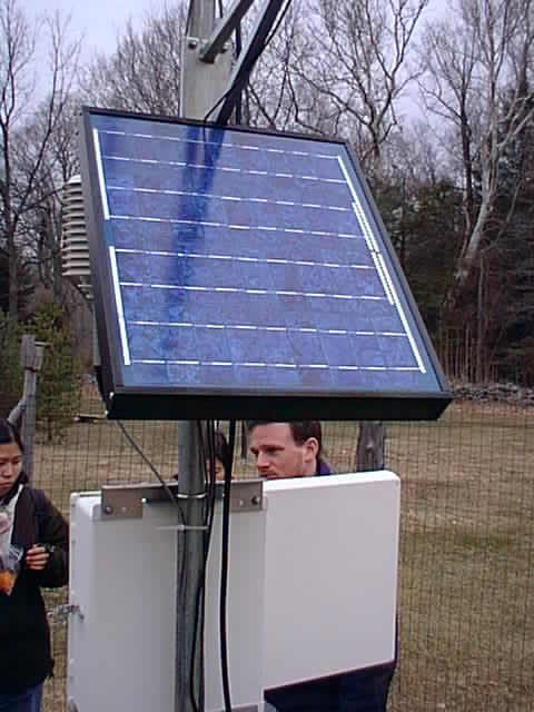
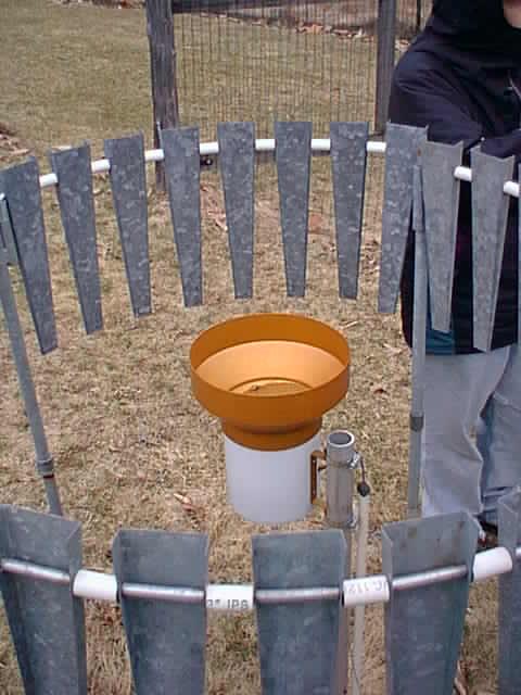
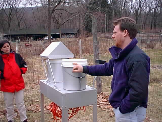
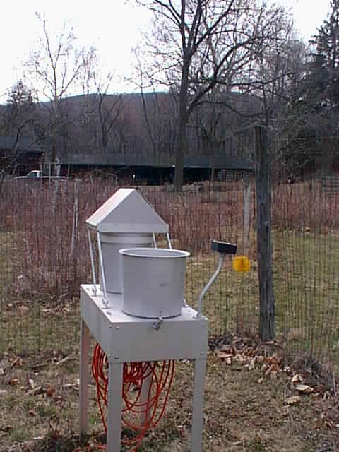
weather station
-
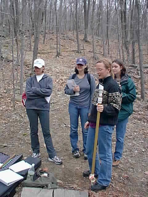
how do the instruments work (Fig 1,
2,
3,
4,
5,
6,
7,
8,
9,
10)
-
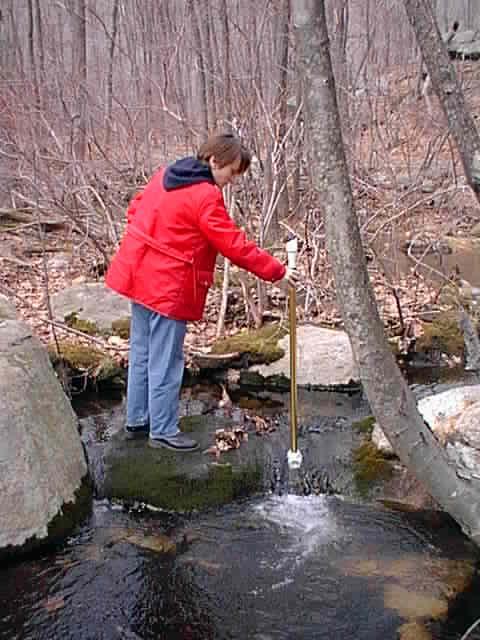
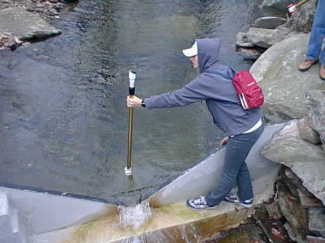
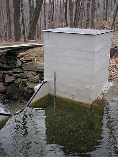
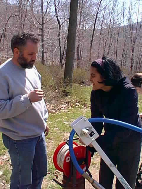
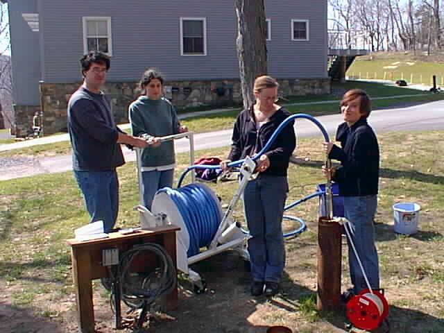
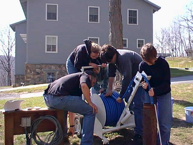
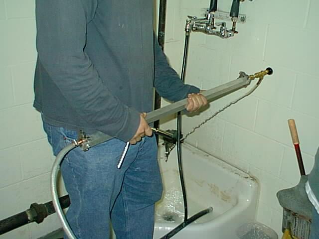
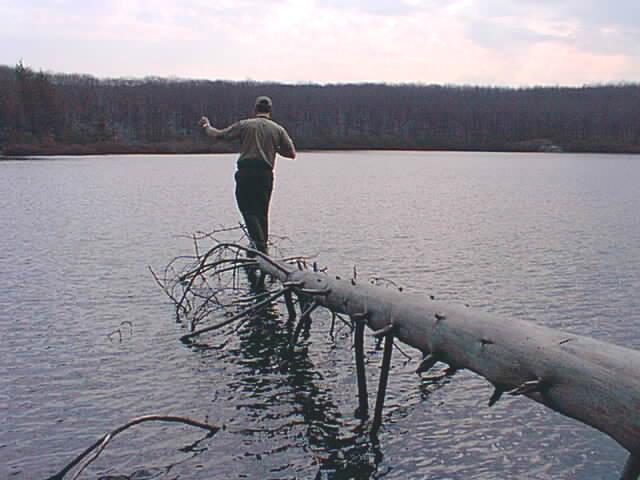
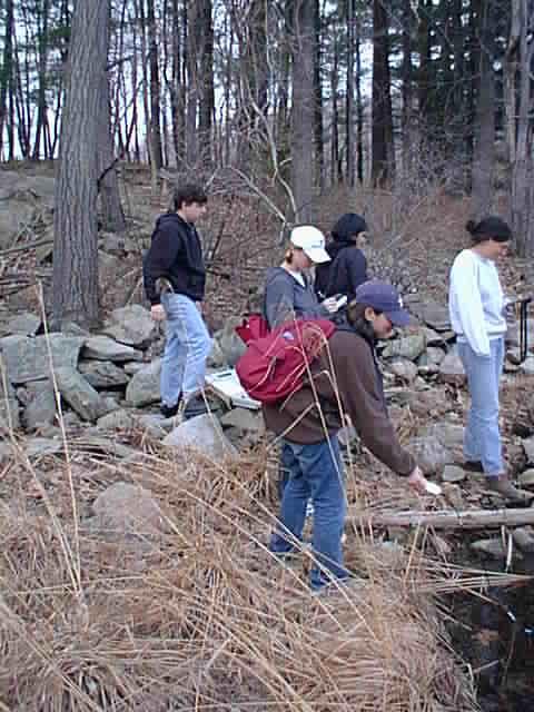
wading through stream (red tape marking the trail)
taking flow measurements
-
BRFcomparison between weir and wand discharge rates
(Fig 1, 2,
3,
4,
5)
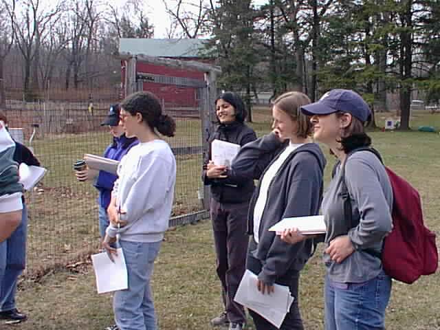
Education Center (10:30-3:30)
-
drive to education center, arrive at 10:30
-
research/history @ BRF (Bill)
-
brief outline of the Black Rock Forest (BRF)
history
-
use of the reservoirs at BRF for domestic water supply
-
what else is currently going on at BRF, green building
-
Group 1
-
measure hydraulic head in both wells (Fig 1,2)
-
use of automatic pressure transducers (Fig 1)
-
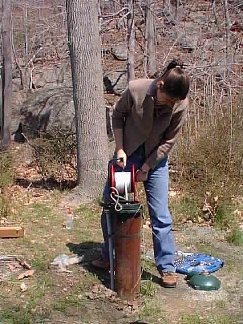
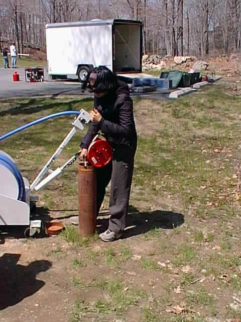
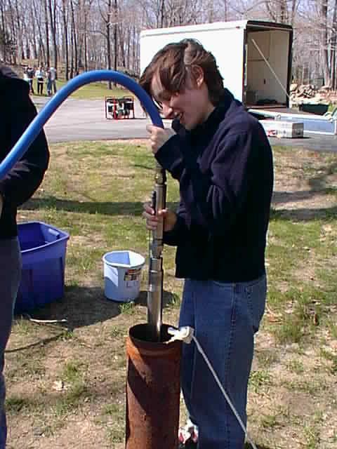
pumping test
-
pump experimental well (Grundfos) and monitor water
table in both wells (Fig 1,2,3,4,5)
-
monitor recovery of the water table after the shutoff
of the pump
-
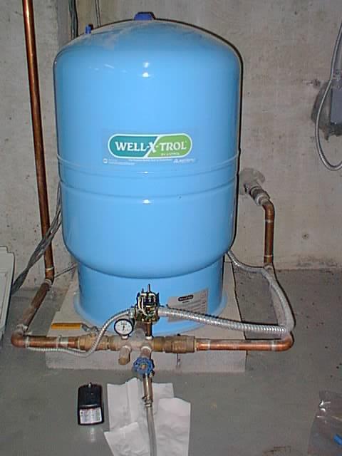
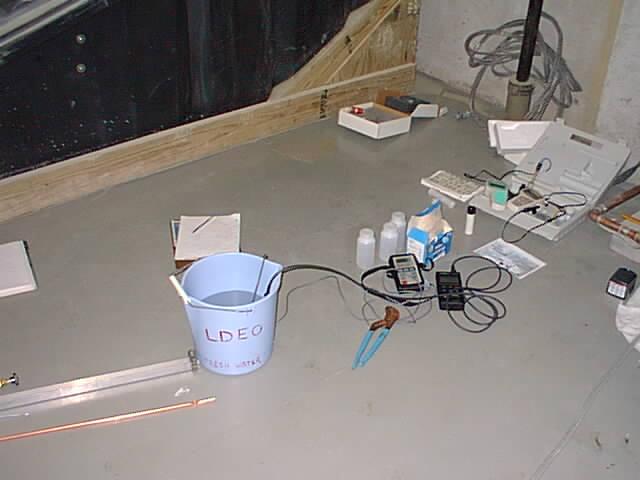
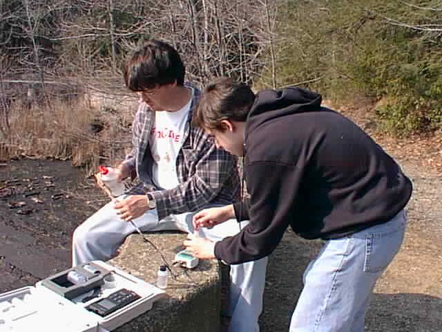
sampling of the supply well inside the building for:
(Fig 1,2,3)
-
conductivity, temperature, pH, O2
-
noble gases
-
filter water for chemistry sample
-
take a core sample of a typical soil
-
measurement of the relative humidity as a function
of time during the day
-
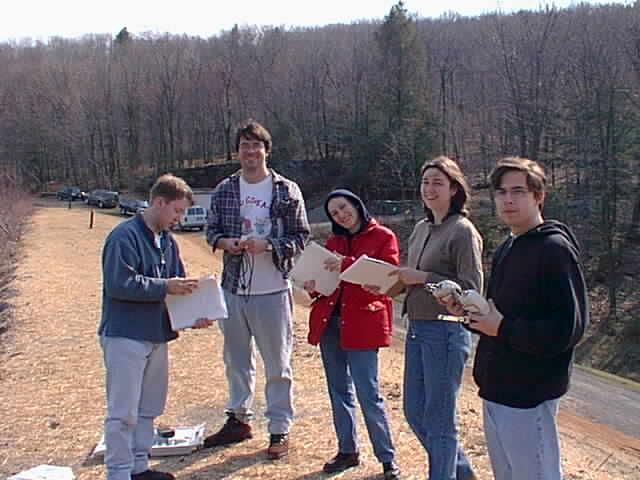
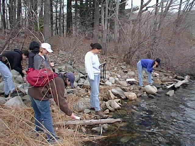
Group 2
-
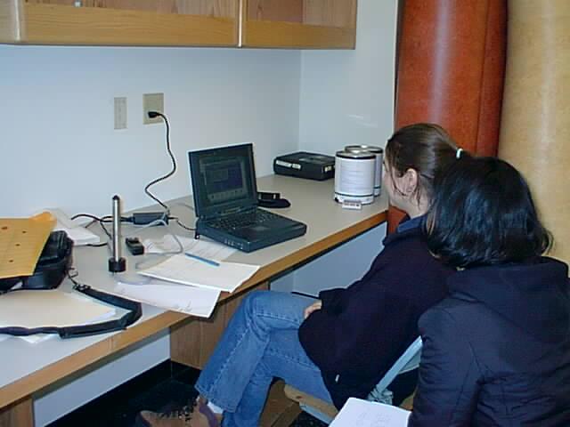
put GPS positions on maps, data analysis (Fig 1)
-
collection of samples for pH, O2, T, el.
conductivity, GPS from: Upper Reservoir, Aleck Meadow, Arthurs Pond,
and Tamarack Pond (2 ponds per group)
(Fig 1, 2,
3,
4,
5,
6,
7)
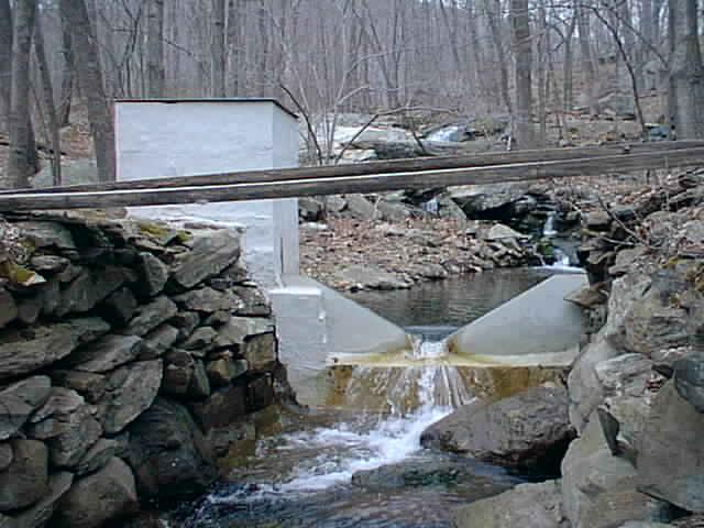
Cascade Brook (3:30-5:30)
-
15:30 arrive at Cascade Brook (gate open) take
key for gage!
-
discussion of ongoing work at Cascade Brook
-
soil suction/moisture measurements, vertical profile
-
determination of the geometry of the Cascade Brook
Weir
-
measurement of the height of stage behind the weir,
use of the weir formula to convert into discharge rate
-
measurement of the discharge rate using the flowmeter?
-
GPS technology (if it was not done earlier)
-
look a sub/super critical flow in the Brook?
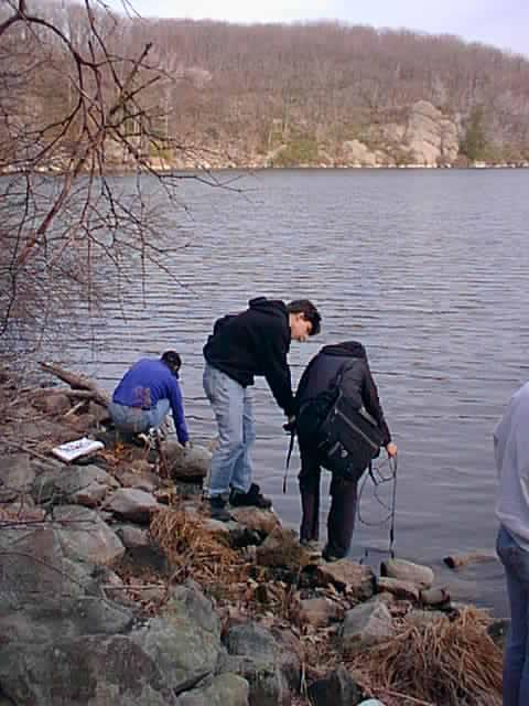
-
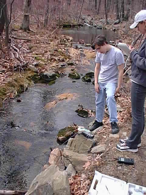
pH, conductivity, T, O2 measurements on
the stream (Fig 1)
-
soil - augering
-
17:30
-
drive to NYC
-
drop off equipment @ LDEO
-
20:00
-
pH, conductivity, T, O2 at Cascade Brook
-
overview, on-going research at Cascade Brook
-
GPS technology (Fig 1)
What to hand in - will
be modfied after trip
On about 2 pages of text excluding plots
and/or tables, briefly summarize the following topics:
-
outline of the history and purpose of BRF (see BRF
website)
-
description of the weather station, what parameters
are being measured and how?
-
calculation of Black Rock Brook discharge rates from
the wand measurements
-
report and discussion of the conductivity, pH, T,
O2 measurements
-
put the GPS stations on the topographic map. Do the
positions make any sense (longitude, latitude, and elevation)?
-
plot pH an the other parameters vs. elevation for
the brook and the 4 reservoirs. Can you explain the pattern?
-
put the ph, conductivity, O2 and temperature
data we obtained from the well in the building in a table and compare them
to the data we had obtained from the reservoirs and streams during our
previous fieldtrip. What do the data tell you in terms of water/rock interaction?
-
make a plot each of the water levels of both pumping
tests and describe the relationship between the pumped well and the
monitored well during both of these tests
-
focus on the recovery period of the supply well during
the first pumping test
-
use the Jacob and Theis recovery technique and fit
the formula given in your handout to the data:
s' = Q/(4pT)*(ln(t/t')
- ln(S/S'))
you can do this by plotting s' versus ln(t/t') and
adding a linear trendline,
the slope then allows you to calculate T
-
assume, that the Jacob & Theis technique is applicable
to this case and that the thickness of the aquifer is the distance between
water level and bottom of the well. What is the hydraulic conductivity
and what kind of rock is the obtained number corresponding to?
Equipment
-
GPS instrument
-
Horiba plus sensors
-
pH, conductivity, O2 meters and
standards as backup
-
filter
-
bottles (plastic, glass)
-
SF6 and CFC sampling containers
-
submersible Grundfos pump controller & pump
-
tools, adjustable wrench
-
Leatherman
-
some copper tubes, hoses
-
digital camera
-
water level tapes
-
soil corer
-
umbrella
-
levelogger
-
interface
-
computer for data logger readout
-
bucket
-
rubber boots
-
cell phone
-
hygrometer
-
papers, BRF history, GPS, maps
-
plots of Cascade Brook data (I will put some of that
on the class website)
-
chemests O2 tests
-
hygrometer
Resources