Near surface engineering geophysics
-
geophysics: science that estimates earth properties from measurements at
earth surface
-
gephysics works at many scales from 1000's of km's to tens of cm.
-
near-surface geophysics: non-invasive imaging of a variety of near surface
(upper 100m or less) properties and structures
-
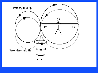
basic principle of geophysical techniques (Fig)
-
many different methods:
-
electromagnetic (EM), radar (Fig)
-
seismic (acoustic waves)
-
electrical (direct electrical current)
-
potential Field methods (Gravity and Magnetics)
-
the most common techniques:

-
typical applications:
-
hydrogeological mapping
-
pipeline, tank, and contamination mapping
-
remediation monitoring
-
arcaeology
-
soil type mapping
-
geotechnical applications (foundations, roads, tunnels)
-
what can you expect from doing a geophysical survey
-
additional information (data) to help you solve your problem
-
data that you can not economically get any other way
-
data that may help you set the location of wells & sampling points
(more expensive than geophysics)
-
large, continuous picture of the problem (bedrock depth, stratigraphy)
-
geologic framework of site
-
infill of data between existing wells
-
anomalies in subsurface physical properties that may represent the target
-
what cant you expect from doing a geophysical survey
-
the answer
-
unique interpretation of data
-
100% positive identification of target
-
examples
-
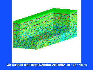
ground penetrating radar image, Maine (Fig)
-
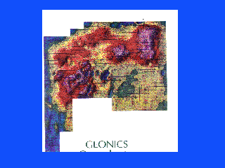
conductivity survey of abandoned industrial site in New York (Fig)
-
Bangladesh resistivity cross section (Fig)
-
BRF examples
-
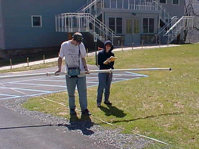
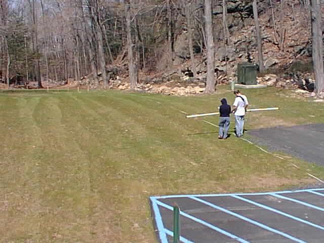
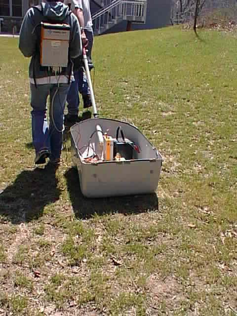
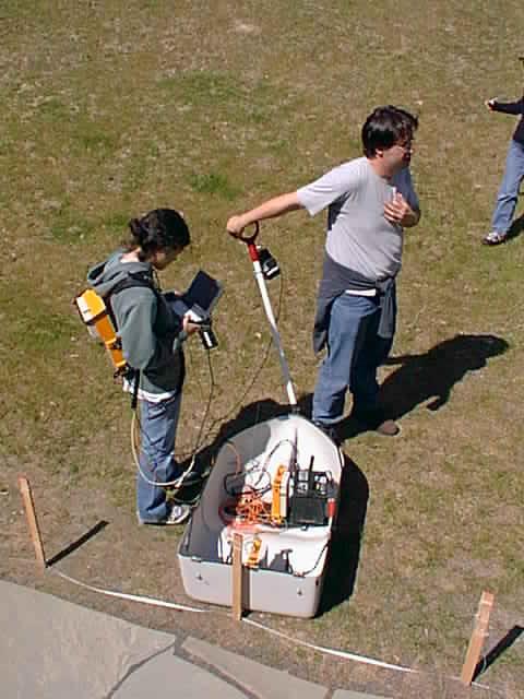
use geophysical techniques in the surrounding of
the building
-
GPS reading at the site
-
magnetics
-
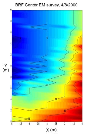
EM (Fig 1,2)
2D
isoplot
-
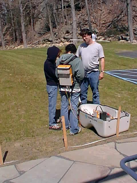
ground-prenetrating radar (Fig 1,2,4,5,6)