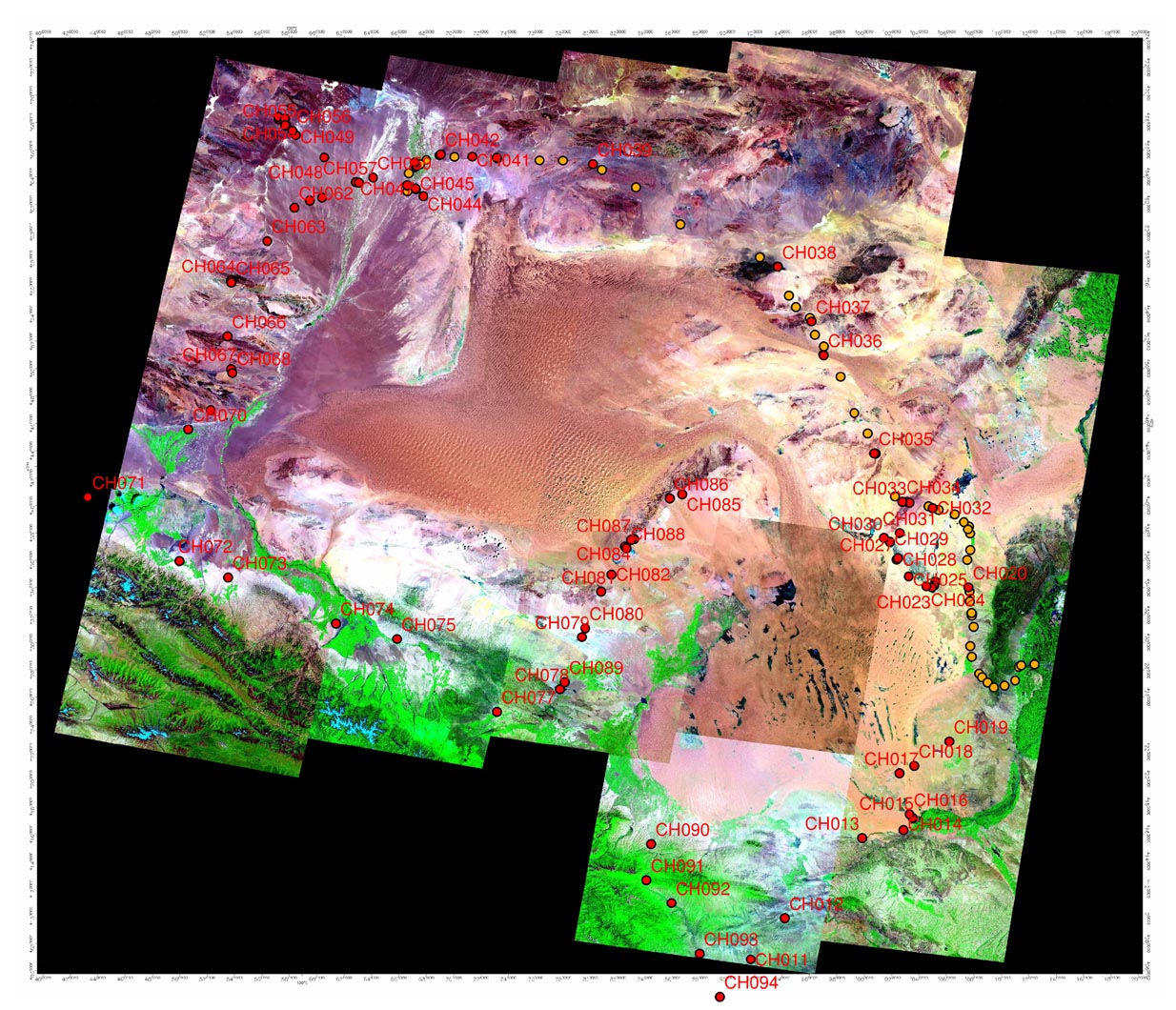
Alashan 2005 - Maps & Images / Alashan Sites + Landsat ETM+ Mosaic
(Higher resolution mosaic linked to image below -
Large Image (>1 MB) - Plan Accordingly
)
Sequential Photo Index of All Waypoints
(CH001 to CH094)
14_AlashanAll015label12.jpg