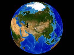
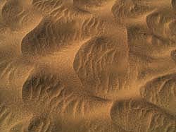
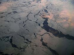
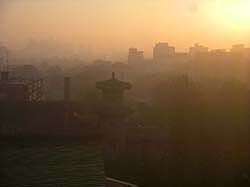
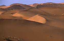
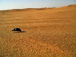
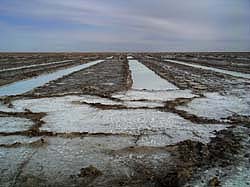
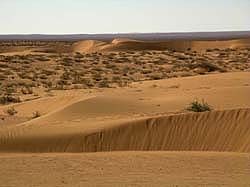
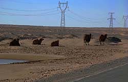
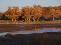
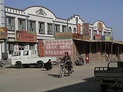
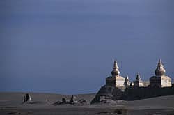
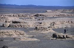
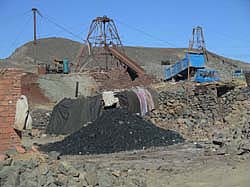
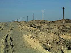
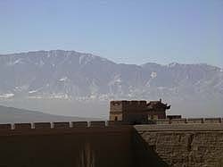
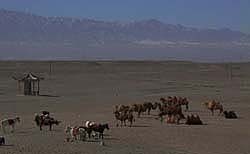
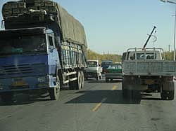
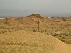
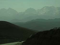
Alashan 2005 - Sampling rock and soil substrates for mapping potential dust sources on the Alashan plateau and Gobi desert

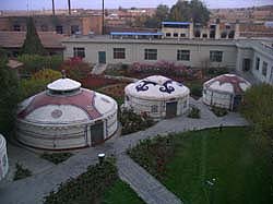
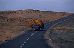
Each image below is linked to more images, data and videos from that leg of the expedition.

^ More Expeditions

00_Maps 00_SampleSpectra 01_TransPolar 02_Beijing
Maps & Images Samples & Spectra Trans-Polar Beijing
03_Lanzhou 04_LoessPlateau.jgp 05_Tengger 06_TheBeetle
Lanzhou Loess Plateau Tengger - South The Beetle
07_Bayanhoute 08_Tengger2 09_Salt 10_UlanBoukhe
Bayanhoute Tengger - North Salt Ulan Boukhe
11_TransAlashanWest 12_EjinaOasis 13_MetroEjina 14_KharaKhoto
Trans-Alashan Westward Ejina Oasis Metro Ejina Khara Khoto
15_WesternGobi 16_TheMines 17_TransAlashanSouth 18_TheWall
Western Gobi The Mines Trans-Alashan Southward The Wall
19_HexiCorridor 20_TheRoad 22_QilienShan
Hexi Corridor Silk Road Badain Jaran Qilien Shan