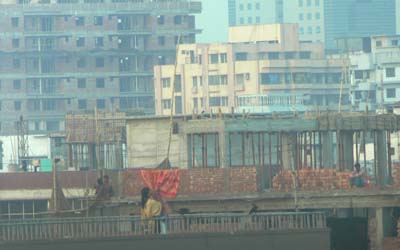
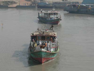
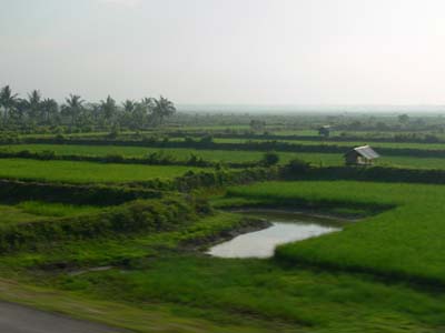
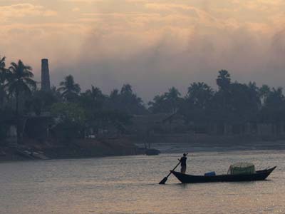
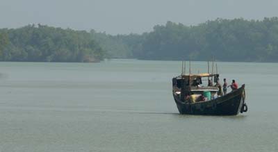
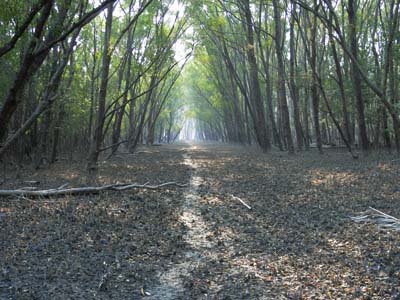
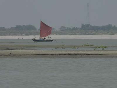
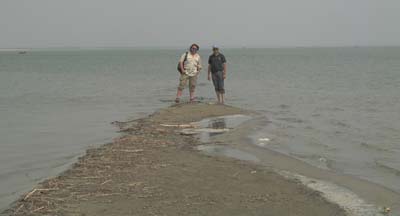
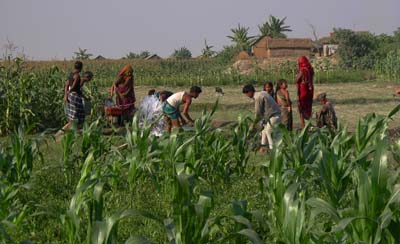
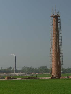
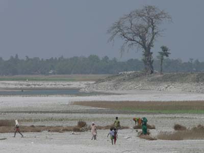
Bangladesh 2006

Mapping structure and monitoring movement, appearance and disappearance of giant sand/mud islands in the Ganges & Brahmaputra Rivers.

The pages linked to the images proceed more or less chronologically from the Sundarbans northward to the Ganges-Brahmaputra confluence then westward up the Ganges and northward up the Brahmaputra.

^ Other Places

Maps & Satellite Images                      2006 Samples & Spectra                       2005 Field Campaign

01b_P1000950 02c_P1000066 copy
Dhaka Aricha Ferry
03l_P1000442 copy 04a_P1000400 copy
Coastal Plain Khulna Port
05_P1000178 copy 05bD_P1000219 copy
The Sundarbans - Rivers The Sundarbans - Forest
06_P1000912 copy 08a_P1000487 copy
The Road Padma
09a_P1000554 copy 09b_IMGP7426 copy
Sailboats Ganges-Brahmaputra Confluence
10d_IMGP7496 copy 11f_P1000668 copy
Sand & Mud Rice
12a_P1000695 copy 13f_P1000887 copy
Ganges - Rajshahi Jamuna - Sirajganj
14a_IMGP7547 copy 15b_P1000748 copy
Rasulpur Smokestacks
16a_P1000829 copy 17a_P1000744 copy
Tista Random
18_P1000141 copy  
Moonshots

Questions or Comments?  Please email: