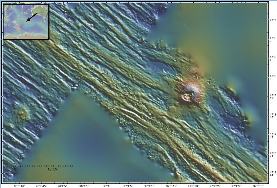
| Bunyip Seamount This sonar image shows a 1000 m high seamount recently formed near the spreading center where new seafloor is being created by the NE-SW divergence of the Australian and Antarctic tectonic plates. A more detailed explanation of the origin of these features is given in the regional tectonic overview. A more detailed explanation of the sonar image is given on the Gallery page. These sonar data were collected in 1994 by the R/V Melville.
The names of these seamounts are based on Australian Aboriginal mythology and are provisional pending approval. |