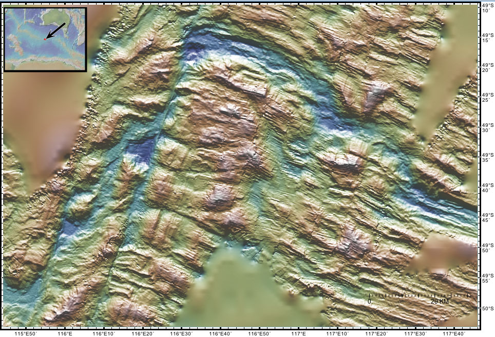
| Bamapana Discordance The 1500 m Bamapana Discordance is the result of a series of short axial valley spreading segments and the chaotic abyssal hill topography created by extensional faulting within the axial valleys of the segments. The bathymetric highs are created by tectonic rather than volcanic processes but ecologically they might be considered seamounts. These features were recently formed near the spreading center where new seafloor is being created by the NE-SW divergence of the Australian and Antarctic tectonic plates. A more detailed explanation of the origin of these features is given in the regional tectonic overview. A more detailed explanation of the sonar image is given on the Gallery page. These sonar data were collected in 1994 by the R/V Melville.
The names of these seamounts are based on Australian Aboriginal mythology and are provisional pending approval. |