Research Interests and Projects
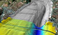
My research is focused on imaging and visualizing complex subsurface structures, especially sedimentary features, and understanding the related sedimentary processes that generated these features. I am interested in the whole range of glacial, estuarine, shelf and slope processes and how sediment is transported from the land across the shelf to the ocean. I am studying these processes by applying a variety of geophysical techniques including acoustic imaging, 2D and 3D reflection seismic and ground-penetrating radar, and magnetics. Using GIS I integrate the results of different geophysical measurements with additional information such as sediment samples and bottom observations. |
 |
Previous and present projects include:
 |
Long Island Sound Mapping |
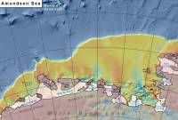 |
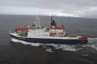
Amundsen Sea Bathymetry |
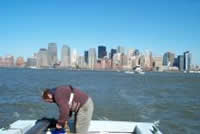 |
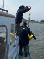
Hudson River Benthic Mapping |
 |
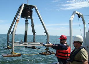
Marine and glacialmarine sedimentation processes along the Westantarctic continental margin |
 |
GIS and Data Visualization of Hudson River Data |
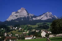 |
3D-mapping of glacial and glacial-fluvial deposits in alpine valleys |
Classification of acoustic data |