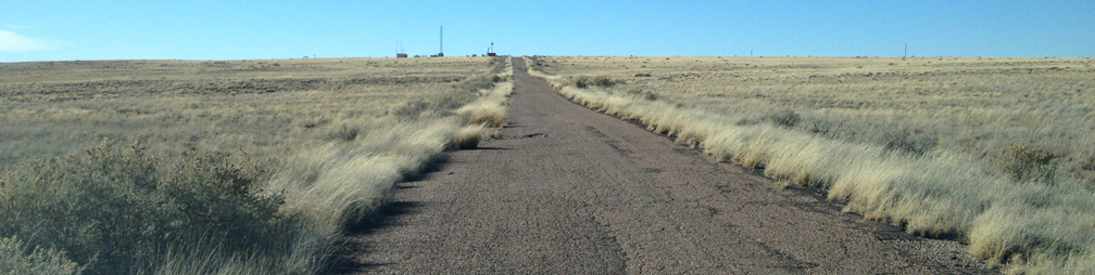
 (1) Approaching site 2 from the east along the old highway 180. The south tilted derrick is just visible to the left of the tiny dish antenna to the left of the road. This was the old main entrance to the Park. |
We
learned from core 2a that there was no sign of the Rainbow Forest bed
which should underlie the Jim Camp Wash Beds, assuming we had spudded
into the sandstones of the Martha Butte beds.This caused us to doubt that assuption. Bill Parker and I reassesed our starting position with map in hand. It turns out thet a cross section based on that map predicts that the road (1) up to site 2 basically follows the dip slope of the Jasper Forest bed, which outcrops to the east. The Jasper Forest (=Rainbow Forest bad is the most spectacular of the silicifiied log-bearing sandstone intervals in the Park (2). This is evidently what we spudded into and that fits perfectly with the observed litholgical sequence in core 2a. Variagated strata of the Lot's Wife beds, including this purple mudstone (3), were encountered beneath the Jasper Foret Bed,. It is already clear that a combination of heavier drilling mud, and a steeper hole inclination has produced much improved hole conditions. |
|||
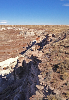 (2) The Jasper Forest Bed as it outcrops at Jasper Forest. |
 (3) Purple mudstones below Jasper Forest bed. |
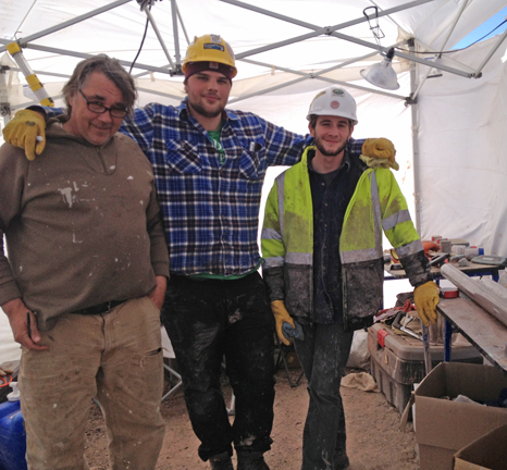 (4) Day shift: Doug Schnurrenberger (driller liason), Max Schnurrenberger, and Justin Clifton. |
||
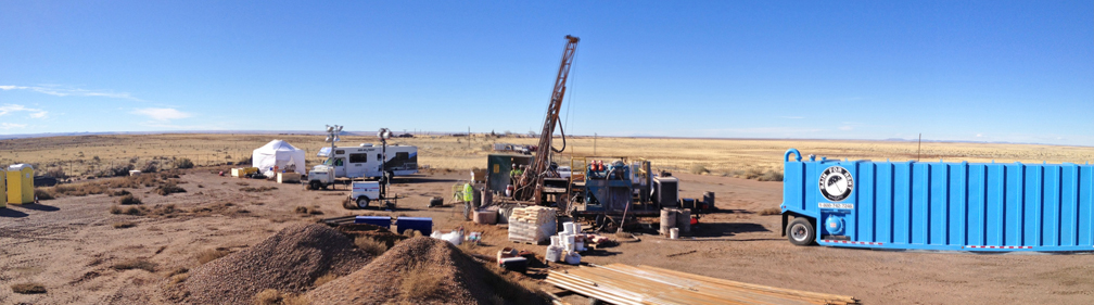 (5) View looking west of site 2b. |
||||
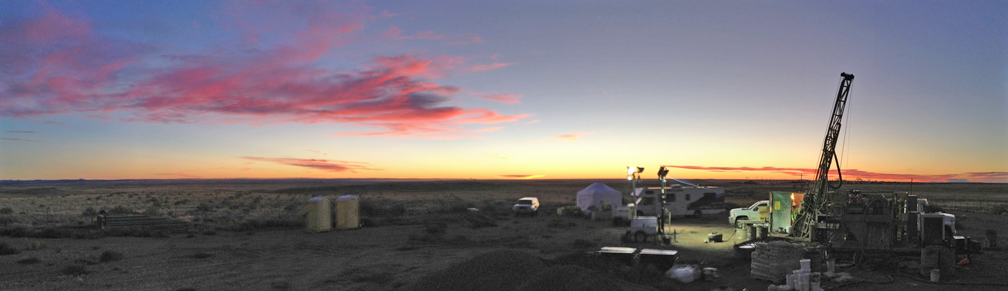 (6) View at dusk. |
||||