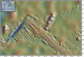
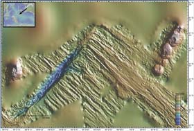
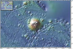
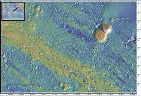
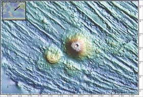
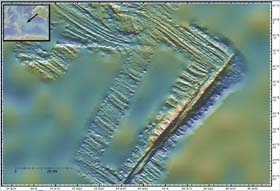
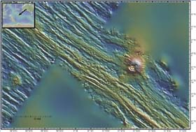
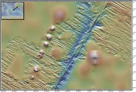
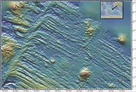
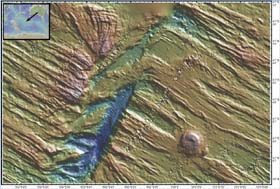
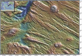
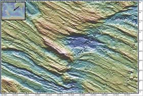
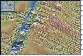
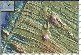
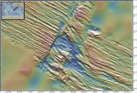
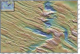
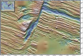
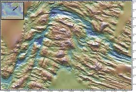
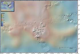
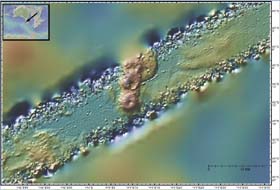
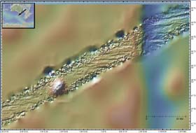
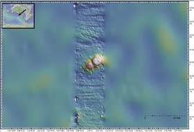
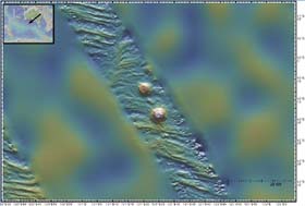
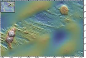
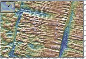
Indian Ocean Seamounts . Most of the seamounts below formed recently (last million years (MY)) near the axis of the Southeast Indian Ridge (SEIR). As a result of the divergence of the Australian and Antarctic plates, the SEIR spreads at intermediate rates of 50 to 80 km/MY. The SEIR generally has smaller abyssal hills than the slow spreading Mid-Atlantic ridge and has fewer seamounts than the fast spreading East Pacific Rise. Each shaded relief image below shows color coded depth combined with a false illumination to highlight fine scale texture. The large area maps are based on predicted bathymetry derived from a combination of altimetric satellite gravity and shipboard sonar measurements. The more detailed images are derived from multibeam swath sonar depth measurements collected by research vessels. The sonar swaths are superimposed on the smoother predicted bathymetry. The less saturated, images use the same depth/color scale indicated on the color bar. The more saturated images each use a different depth/color scale optimized for that seamount. The randomly chosen names of these seamounts are based on Australian Aboriginal mythology and are used only for reference. . These images were generated with Bill Haxby's GeoMapApp tool. |