BACK
|
Spatial Thinking
|
Maps in the Field
|
Topographic Maps
|
3-D Phenomena
|
NEXT
Top of Page
|
Table of Contents
Learning Spatial Layout
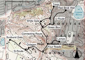
Step 1:
Drive participants along a set course, pointing out landmarks.
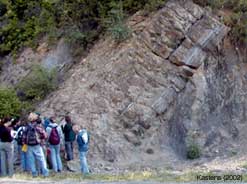
Field
Geology
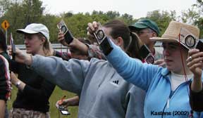
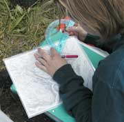
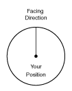
Step 2:
Ask participants to recall
distances and directions between landmarks.
For example, for direction estimation, participants indicate the direction from one landmark to another on this diagram.
Ishikawa (2002)