Collecting Samples in a Redwood Forest
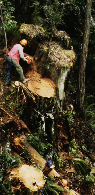
We have to cut sections from the stumps of trees logged almost a
century ago. Redwood is very decay resistant and the wood is preserved
well enough for sanding, polishing and microscopic analysis.
This scene corresponds to the intersection of the creek and fault zone on
the center of the map from the previous page. Here the creek runs to the right of
the stump being cut and the narrow tree in the upper right. The right border of
the photo may mark the edge of the creek.
The San Andreas Fault Zone lies just below the bottom of this scene.
.
.
.
.
.
.
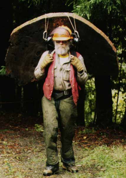
The sections must be carried out of the woods to the road and then
shipped back to the laboratory here at Lamont for surfacing and analysis.
The actual years of growth are determined by matching the ring-width patterns
with samples from living trees.
.
.
.
.
.
.
.
.
Back to the Redwoods and Earthquakes page
or
the Earthquakes!!! page.
TREE-RING LABORATORY,
LAMONT-DOHERTY EARTH OBSERVATORY OF COLUMBIA UNIVERSITY
ROUTE 9W,
PALISADES, NEW YORK 10964
Voice: (845) 365-8517, Fax: (845) 365-8152
Last Updated: January, 2000 (Neil)