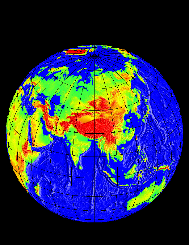
Last Modification: June 15, 1997 Images rendered by small@ldeo.columbia.edu using GMT software. Back to World View Page
Images rendered by small@ldeo.columbia.edu using GMT software.