| page 2 of 2 |
| Peru - 3D Perspectives
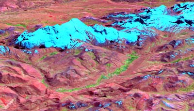
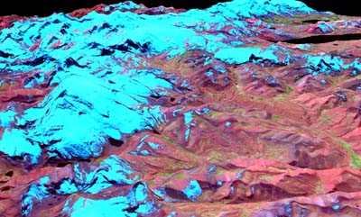
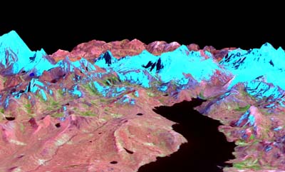
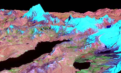
Each image below shows Aster false color infrared imagery draped on shuttle radar topography. Some of the linked images are >2 MB. - Plan Accordingly. |
| page 2 of 2 |
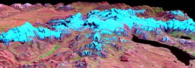 |
| Looking North |
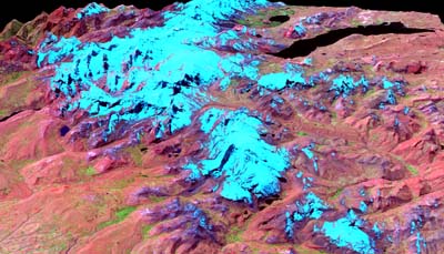 |
| Looking East |
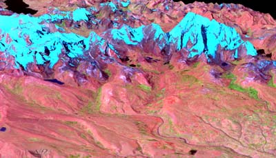 |
| Looking SSE |
 |
| Looking ESE |
 |
| Looking North |
 |
| Looking ENE |
 |
| Looking NNW |
 |
| Looking WNW |