Peru - Maps and Imagery
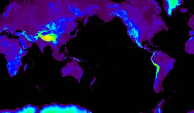
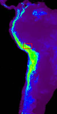
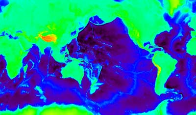
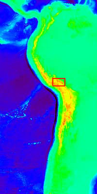
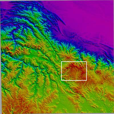
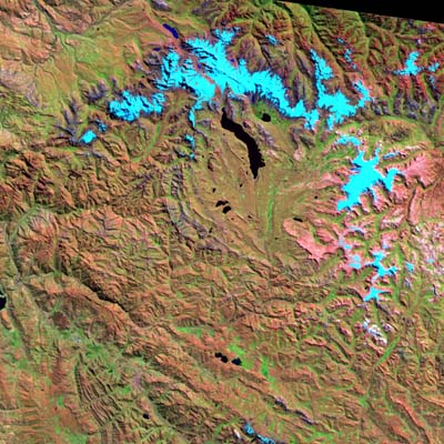
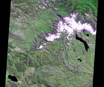
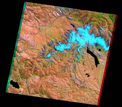
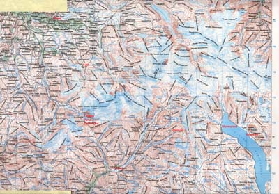
Each image below is linked to a full resolution elevation map or satellite image. On the topography maps, warmer colors correspond to higher elevations. The satellite images are composites of visible and infrared reflectance highlighting variations in land cover. Some of the images are >2 MB. Plan Accordingly.
|