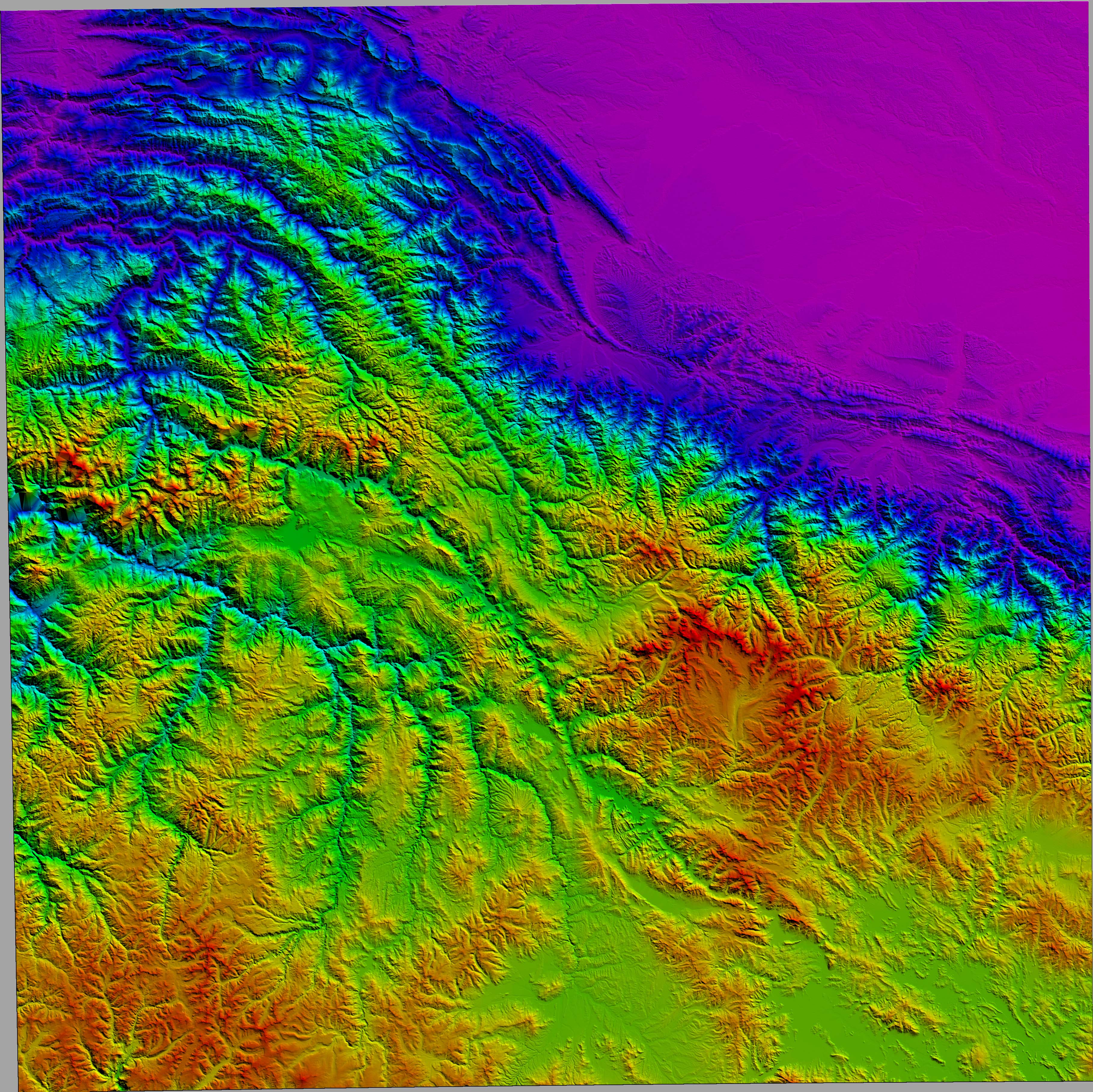
Peru - Maps and Imagery
Cordillera Vilcanota topography, 200 m to 6000 m,
Shuttle Radar Topographic Mapping Mission, 3 arc second resolution
False illumination from 031 at 40 deg. solar elevation
13 to 15 deg South, 71 to 74 deg West
05PeruSRTMrb001shd.jpg