Urban Vegetation
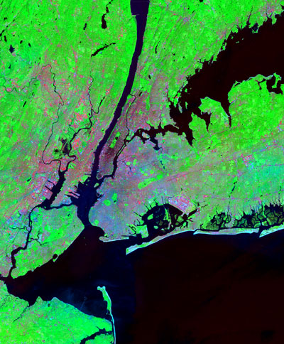
High resolution (2.8 m) vegetation maps derived from Quickbird imagery
can be used for vicarious validation of moderate resolution (30 m) estimates
of fractional vegetation cover derived from Landsat 7. The vicarious validation
indicates that Landsat-derived vegetation estimates have less than 6% estimation
error with ~17 m spatial uncertainty. Details in:
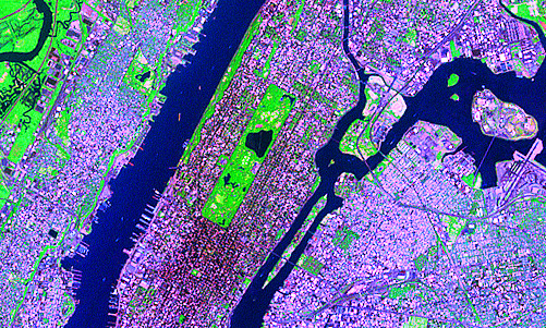
Spectral Mixture Analysis of Landsat 5 reflectance in NYC
can be used to map fractional vegetation cover at regional scales.
Comparison with integrated vegetation derived from 1 m aerial
photography indicates that Landsat-derived vegetation fraction
provides better than 90% accuracy for fractions >20%. Details in: