'A Day in the Life of the Hudson River'
Background Information
Why do a Snapshot of the Hudson River?
The Hudson River defines Eastern New York State, running 315 miles from Lake Tear of the Clouds perched over 4000 feet up on the southwest side of Mount Marcy in the Adirondacks, all the way to the Battery at the southern tip of New York City. What is unique about the river is its dynamic character.
- While the northern half of the river is freshwater fed by snowmelt, groundwater and rain, the southern estuary section is a tidal mix of salty seawater and freshwater.
- While the northern half of the river flows from north to south, and from high ground to low ground, the southern estuary stretch has been said to "flow both ways" because of tidal influence.
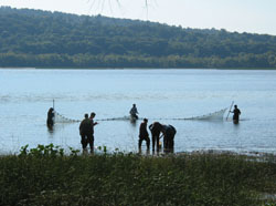
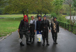
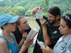
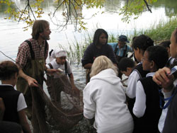
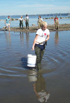
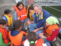
The estuary makes up the lower half of the Hudson River, spanning 153 miles from the tip of the Battery to the Troy Dam. This section of the river experiences dramatic changes in such measures as salinity, circulation patterns, tidal ranges, river width and water depth, fish species, macroinvertebrate communities, and plant communities. These dramatic and dynamic features are what we hope to capture in our annual "snapshot" of the Hudson River in order to put together an image that best reflects the river itself. We hope that through their participation in this event on the river students will discover as many new questions as they answer (!) thereby creating a lifelong learning relationship with the river.

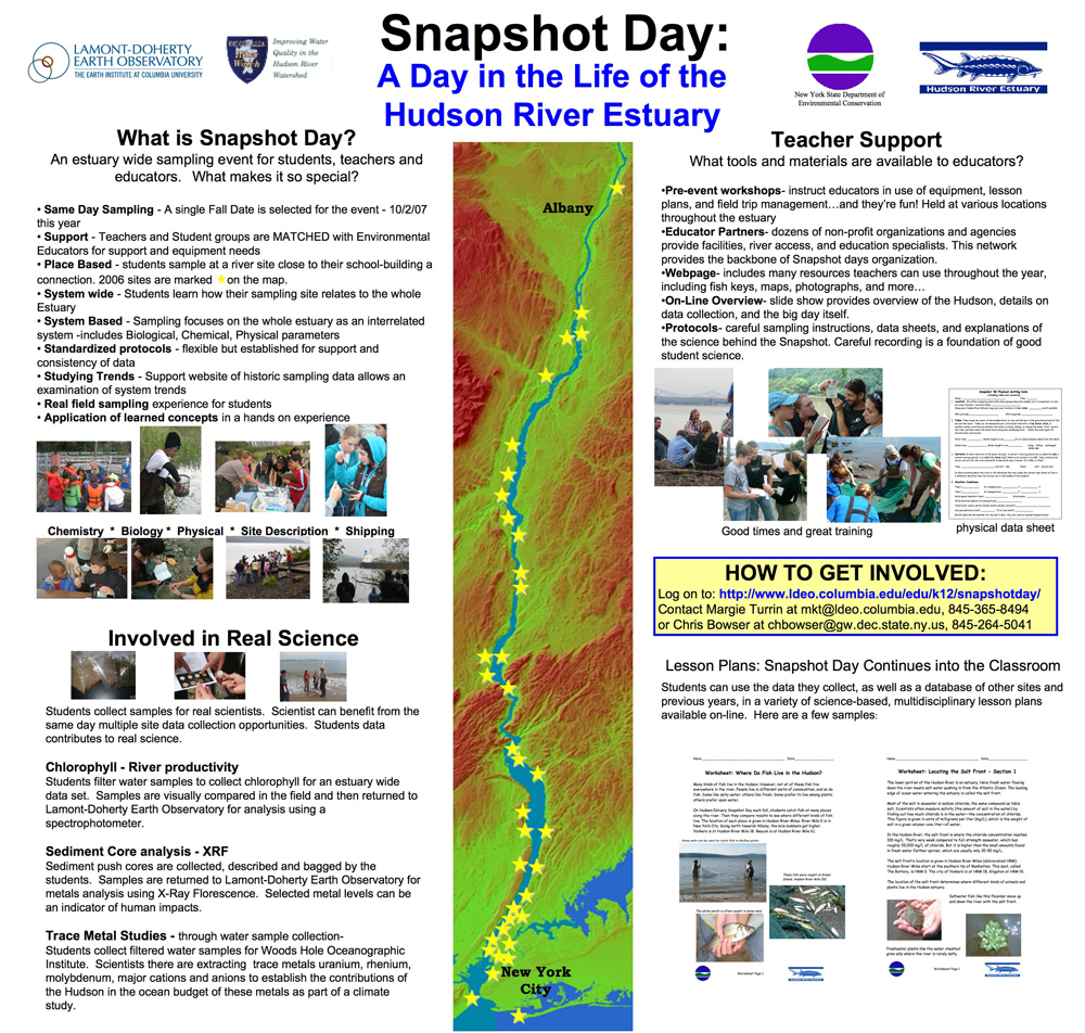