Exploring New Depths
Lamont-Doherty Earth Observatory’s Office of Marine Operations operates the research vessel Marcus G. Langseth, which serves as the national seismic research facility for the United States academic research community. The Langseth is part of the University-National Oceanographic Laboratory System (UNOLS), an organization of 62 academic institutions and national laboratories united for the purpose of coordinating oceanographic research, ships’ schedules and research facilities. The Langseth is distinct among the ships in the academic fleet in that it is a designated National Facility, a status that recognizes the ship’s unique seismic ability to create two and three-dimensional maps of Earth’s structure miles below the seafloor.
Scientists from Lamont and research institutions around the world participate in research programs aboard the Langseth. Expeditions aboard the ship range from the collection of sediment cores for understanding climate variations throughout Earth’s history, to sampling seawater for determining physical and chemical properties of the oceans, and the deployment of remotely operated vehicles (ROVs) for studying submarine volcanoes.
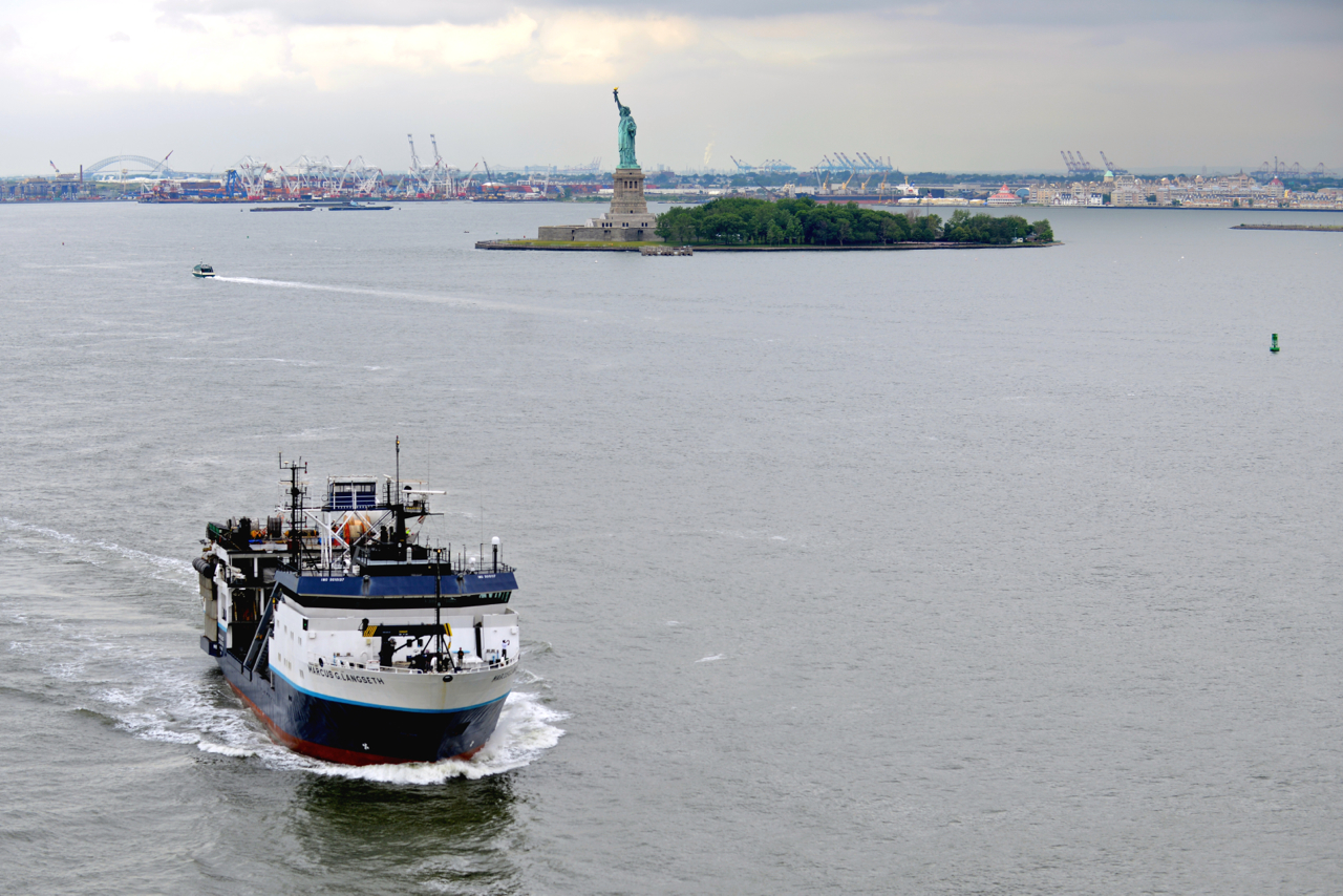
Lamont’s research vessel, the Marcus G. Langseth, serves as the national seismic research facility for the United States academic research community.
In early 2014, following successful cruises in the Pacific and North Atlantic Oceans, the Langseth spent four months in a Charleston, South Carolina shipyard for maintenance. In June, the ship traveled north and made its first visit to New York before departing for two cruises, led by Lamont scientists and their collaborators, in the North Atlantic.
In late August, the U.S. Geological Survey (U.S.G.S.) used the Langseth for a month-long cruise along the Atlantic coast of the United States. The goals of this project, led by Deborah Hutchinson of the U.S.G.S. and Nathan Miller of Lamont and the U.S.G.S., were two-fold and included evaluating Atlantic margin for determining if the United States can claim sovereign rights in an area beyond its 200 nautical mile economic boundary, known as the Extended Continental Shelf under Article 76 of the Law of Sea Convention. Their second goal was to evaluate potential geohazards along the Atlantic margin in areas where there are known submarine landslides and potential tsunamis hazards. Over 2700 kilometers of two-dimensional marine seismic, multibeam mapping and other geophysical data were collected in support of these objectives.
Lamont seismologists Donna Shillington, James Gaherty and Anne Becel, along with colleagues from several institutes and universities, then began a large onshore-offshore experiment known as the Eastern North American Margin (ENAM) project. The ENAM project included the completion of about 5000 kilometers of two-dimensional seismic imaging, 94 active ocean-bottom seismometer (OBS) deployments, approximately 50 long-term passive OBS deployments and over 400 land-based seismometers.
Visit the Marine Operations section of the Lamont-Doherty website to learn more about the R/V Langseth and the Observatory’s long history of seagoing exploration and discovery.