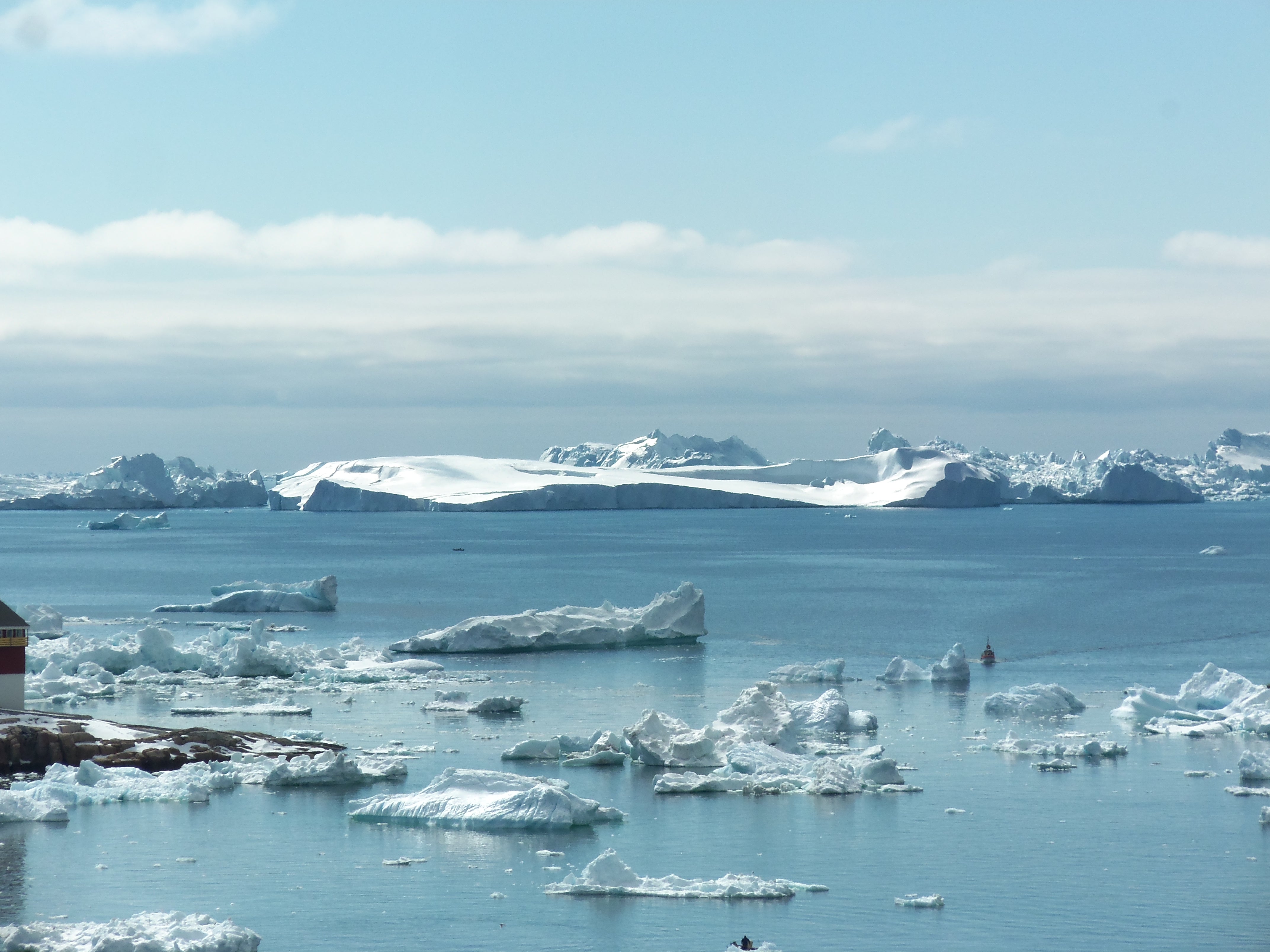
Ice Age Sea Level
In my research I try to understand how we can use the sea level record to interpret changes in ice volume during the glacial cycles. The idea is to use paleo-climate as a natural laboratory to study the Earth. We have records of past sea level from different sites, but their relationship to an ice-equivalent mean sea level is not trivial. Local sea level deviates from such an ice-equivalent mean due to direct gravitational effects from the changing ice and ocean load as well as the viscoelastic response of the Earth to this load. In my work I model these effects in order to reconcile the available data, make estimates of past ice volume change and get better constraints on the Earth's internal structure.
Long-Term Sea Level
In addition to these effects related to glacial isostatic adjustment, I am also interested in dynamic topography, which influences the sea level record over longer time scales. Dynamic topography is the surface expression of mantle convection. I use the mantle convection code Aspect to model dynamic topography and investigate how it alters the local sea level estimate. I'm particularly interested in the sea level highstand during the Mid-Pliocene Warm Period, around 3 Ma ago.
Plate Tectonics & Geodynamics
I am interested in global plate tectonics and geodynamics. During my master's degree I dealt with projects involving numerical models of the coupled mantle/lithosphere system. I was interested in problems involving plate boundary forces to analyze how and why plates change their motion over time. We used finite rotations that come from magnetic isochrons to reconstruct plate motion over the last few Million years. Subsequently we tried to explain fast accelerations or slow downs with changes in plate boundary forces. In my PhD I've worked on a project looking at the statistical relation between the dynamics of the deep Earth's interior and its surface expression in the form of plumes.
HISEAS
HISEAS uses the Last Interglacial as a natural experiment to determine how much and why Greenland and Antarctic ice sheets melted, combining paleoclimate, sea-level, and Earth-system modeling.
Visit projectMAGIC
MAGIC combines historical glacier reconstructions, satellite observations, glacier modeling, and AI to improve predictions of mountain-glacier melt and its contribution to sea-level change.
Visit projectMINERALS
MINERALS connects mineral physics, seismology, and geodynamics to build a predictive framework linking mineral properties at atomic scales to the structure and dynamics of Earth’s deep interior.
Visit projectSWAIS2C
SWAIS2C uses geological records from beneath the Ross Ice Shelf to determine how the West Antarctic Ice Sheet responded to past warming and improve projections of future sea-level rise.
Visit projectGreenland Rising
Greenland Rising combined coastal mapping, sea-level observations, modeling, and community partnerships to understand how a changing Greenland Ice Sheet affects natural, social, and built environments.
Visit project